
Is It Safe to Self-Drive Through Namibia?
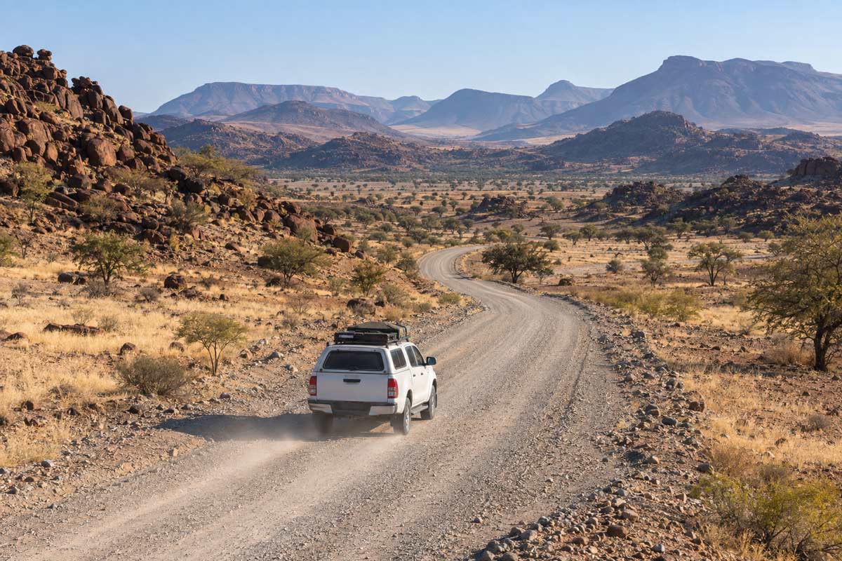
Self-driving is one of the most popular ways to experience Namibia, and well-prepared international visitors complete these journeys safely every year. The direct drive from Windhoek to Etosha follows established roads, while an extended journey through the Skeleton Coast, Damaraland, the Kaokoveld and the Kunene region requires significantly more planning.
Namibia should not be regarded as inherently unsafe for independent drivers. Its open landscapes, good principal road network and relatively light traffic make self-driving exceptionally rewarding. However, long distances can create a false sense of simplicity. Speed, fatigue, gravel surfaces, animals, tyre damage and delayed access to assistance remain genuine risks.
The further you travel from the main routes, the smaller your margin for error becomes. A puncture near a major town and a puncture on an isolated Kaokoveld road may be the same mechanical problem, but the second can involve extreme heat, little passing traffic, no reliable mobile connection and a much longer wait for help.
A minor delay can become more serious if it reduces your fuel, water or daylight margin. Effective Namibia travel safety planning should therefore begin before the vehicle leaves Windhoek.
Official UK travel guidance advises visitors to check road conditions, carry water, prepare for punctures and avoid driving outside towns at night because wildlife and livestock present serious hazards.
Read the UK Government’s Namibia safety and security advice
Are You Driving Directly to Etosha or Taking the Remote Route?
“Windhoek to Etosha” can describe two very different journeys.
The direct route usually follows established roads through places such as Okahandja and Otjiwarongo. The final approach depends on the location of your accommodation and whether you are entering near Okaukuejo, Namutoni or another part of Etosha. Travellers should plan using the complete lodge or camp location, not simply “Etosha National Park.”
Many visitors choose a much longer circuit. This may include Swakopmund, the Skeleton Coast, Damaraland, Brandberg, Palmwag, Sesfontein, Opuwo, Epupa Falls and the Kunene River region before reaching Etosha.
These destinations are not one compulsory route. A line that appears continuous on a digital map may cross areas with very different road surfaces, fuel availability, mobile coverage and access to assistance. Plan each driving day separately and confirm the final route with the next accommodation, rental company or an experienced local operator.
Match the Vehicle to the Most Difficult Route
Choose the vehicle for the most demanding section of your itinerary, not the easiest drive out of Windhoek. Some established routes through Damaraland may be suitable for an appropriate two-wheel-drive vehicle, while isolated Kaokoveld routes can require high clearance, four-wheel drive and greater off-road experience.
Ask the rental company whether every planned road is permitted. Confirm the tyre specification, number and condition of spare wheels, roadside-assistance limits, recovery arrangements and insurance exclusions. Understand how to use the jack and wheel tools before leaving the depot.
Do not assume that comprehensive insurance automatically covers underbody damage, tyres, windscreens, water crossings, deep sand or single-vehicle accidents. If you cannot safely change a wheel, know how to contact approved roadside assistance and communicate your exact position.
Build a Route Plan Someone Else Can Follow
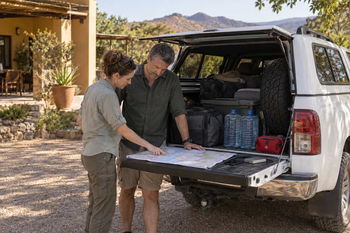
A mobile navigation app is not an emergency plan. Record your overnight stops, planned roads, fuel points, departure times, expected arrival times and alternatives if the journey is delayed.
Include the vehicle registration, rental-company details, traveller names, medical information and any section where mobile coverage may be unavailable. Share this plan with a responsible family member, travel agent or tour operator.
Your accommodation should know when to expect you after a remote driving day. Agree who will act, and what they will do, if you fail to arrive or make contact. Location sharing during an emergency is most useful when somebody already understands your intended route.
Before You Leave Windhoek or Your Overnight Stop
Before Starting a Remote Driving Day
- Confirm the route with your next accommodation.
- Check current road and weather conditions.
- Confirm that the rental company permits the route.
- Refuel and identify the next reliable fuel stop.
- Inspect every tyre, including the spare.
- Check that the jack and wheel tools are present.
- Carry sufficient drinking water and essential medication.
- Download offline maps and save important contacts.
- Charge phones, power banks and satellite devices.
- Confirm who is monitoring your arrival.
- Register and test TravelSafe SOS.
- Leave enough daylight for delays.
- Change the plan if the route, vehicle or conditions are unsafe.
Road conditions, access requirements and fuel availability can change. Confirm them immediately before departure rather than relying only on an itinerary prepared several months earlier.
Why Fuel, Water and Daylight Are Safety Margins
Fuel, water and daylight are not merely travel conveniences. They give you room to respond when a fuel station is closed, a road has deteriorated or a puncture delays the journey.
Do not plan to reach a fuel stop with almost no reserve, and never increase your speed to recover lost time. Contact the next lodge early if your arrival will be delayed.
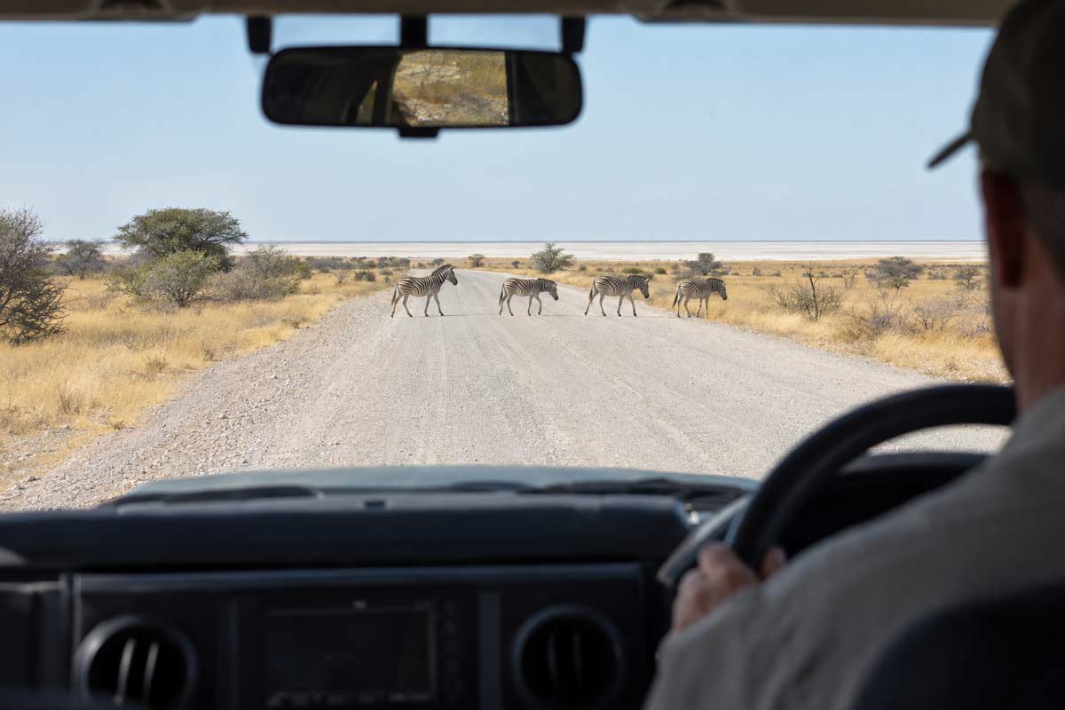
Avoid unnecessary night driving. Darkness makes animals, livestock, road damage, surface changes and stopped vehicles more difficult to see. It also makes a breakdown location harder to describe and may delay assistance.
Travelling through remote Namibia is an extraordinary experience, but the route must remain flexible. Enter isolated areas with a suitable vehicle, adequate supplies, a monitored itinerary and more than one way to communicate if something goes wrong.
Drive Differently on Gravel and Remote Roads
Gravel roads require a different driving style from sealed highways. Reduce your speed to suit the surface, visibility and weather rather than relying on the posted limit as a target. Increase the distance between your vehicle and other traffic, and avoid sudden steering, braking or acceleration.
Slow down before bends, crests, dips and cattle grids. Loose gravel, potholes, animals or stopped vehicles may only become visible at the last moment. Dust from another vehicle can also reduce visibility dramatically, so stay well back and wait for a safe opportunity before passing.
Follow the rental company’s guidance on tyre pressure and vehicle use. After heavy rain, confirm conditions with your accommodation or rental company before entering an isolated road.
Fatigue is equally important. Stop when concentration begins to decline. Never attempt to recover time by speeding, particularly when daylight or a lodge arrival deadline is approaching.
What Should You Do After a Puncture or Breakdown?
A mechanical breakdown is not automatically an emergency. However, its location, the weather, available communication and the condition of the occupants can quickly make it more serious.
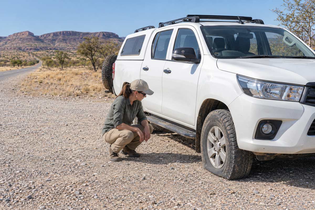
Stop in the safest available position and move as far from active traffic as conditions allow. Switch on the hazard lights, keep passengers away from the road and assess the immediate risks. These may include heat, fire, leaking fuel, wildlife, unstable ground or passing vehicles.
Contact the rental company through its approved roadside-assistance channel. Provide your GPS position, road or track name, direction of travel and last confirmed location.
A puncture may be changed if the vehicle is safely positioned, the correct equipment is available and the traveller knows how to use it. Never crawl beneath an unstable vehicle or attempt an unfamiliar repair beside moving traffic.
If there has been a collision, somebody is injured, the vehicle is obstructing traffic or the location creates a medical or security risk, activate TravelSafe SOS when suitable connectivity is available. The app should not be used as a substitute for the rental company’s ordinary breakdown service.
Remain with the vehicle when this is safer than walking for help. A stationary vehicle is generally easier to locate than an individual moving along an isolated road.
If the breakdown follows a collision, read our guide explaining what to do after a road accident in Africa.
What If There Is No Mobile Coverage?
Mobile coverage should never be assumed throughout the Skeleton Coast, Damaraland, Kaokoveld or the Kunene region.
A TravelSafe SOS alert requires suitable connectivity to transmit. GPS positioning and data transmission are different functions. Your phone may display coordinates even when it cannot send them to the control centre or another contact.
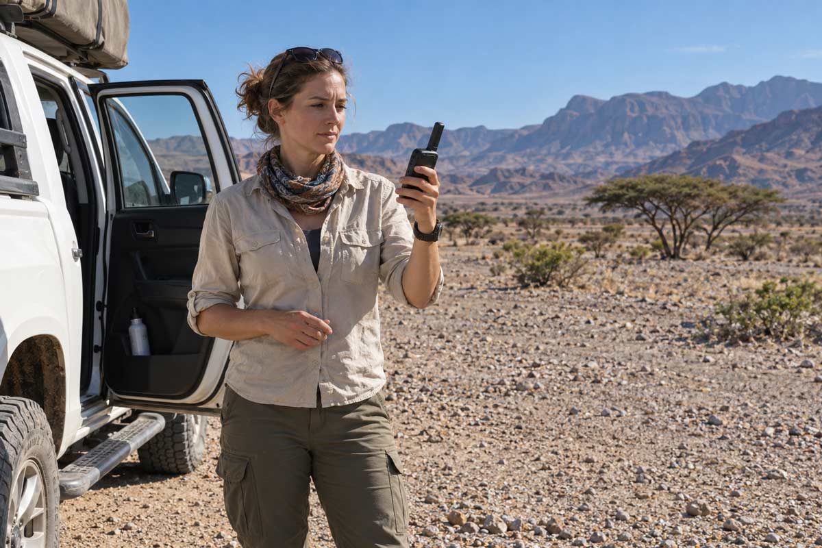
Save route details, accommodation numbers, rental-company contacts and essential emergency information offline. Download maps before entering isolated areas and carry a charged power bank. Travellers using particularly remote routes should consider suitable satellite communication and must know how to operate and test the device before departure.
If an SOS cannot transmit, use the fastest safe alternative. This may involve contacting the rental company, accommodation, police, park staff or another motorist when communication becomes available.
Conserve phone and device power. If intermittent connectivity returns, send one concise message containing your position, condition and immediate need. Do not send somebody walking alone along an isolated road unless there is no safer alternative.
TravelSafe SOS is an important part of the emergency plan, but it should never be the only plan.
How Do You Communicate a Remote Location?
Clear location information can prevent unnecessary delays. Give the available GPS coordinates, road or track name, direction of travel and the last confirmed town, lodge, junction or fuel stop.
Also provide:
- Your intended destination
- The time you left the last known location
- The vehicle make, colour and registration
- The rental-company name
- The number of occupants
- Whether anybody is injured
- Your available water and fuel
- Any traffic, fire, wildlife or security hazard
- A working callback number
A useful message could read:
We have broken down while travelling north between Palmwag and Sesfontein. Our available coordinates are [coordinates]. We left Palmwag at [time]. The vehicle is safely off the road, nobody is injured and we have drinking water. We are in a white rental vehicle with registration [number]. We have informed the rental company and require its roadside assistance.
Use TravelSafe SOS location sharing when connectivity permits, but keep the same information available offline in case you need to communicate through another channel.
When Should You Turn Back or Change the Route?
Turn back or reconsider the route if conditions are worse than expected, fuel reserves are becoming inadequate or the vehicle no longer appears suitable.
Other warning signs include heavy rain, an unsafe river crossing, tyre damage, a dashboard warning, failed communication equipment, increasing fatigue, route uncertainty or insufficient daylight to reach the next accommodation safely.
Do not enter a difficult section merely because it appears on the itinerary. Current conditions matter more than the original plan.
Turning back is not a failed adventure. Continuing without the correct vehicle, adequate supplies, reliable route information or a workable communication plan can convert uncertainty into an emergency.
If you are delayed, contact the next accommodation while you still have connectivity. Never speed or use an unofficial route to reach Etosha before a gate closes. Confirm whether access remains possible and ask for instructions about the safest alternative. Late entry cannot be assumed or guaranteed.
How Can TravelSafe SOS Help in Remote Namibia?
When an SOS alert is successfully transmitted, the TravelSafe SOS control centre receives the available alert, location and registered traveller information. An operator can attempt to contact the traveller, assess what has happened and begin coordinating an appropriate available emergency response.
Depending on the incident and current operating procedures, this may involve communication with police, emergency medical services, private medical providers, fire or rescue services, park authorities, the traveller’s accommodation, tour operator, rental company, insurer or assistance company.
The registered travel agent and nominated next of kin can also be notified in accordance with current procedures and the information supplied during registration. This means the people responsible for supporting the traveller are not left unaware while an emergency is developing.
TravelSafe SOS is not a towing company, mechanic, ambulance service, police service or insurer. It cannot guarantee that a responder will be available or promise a particular arrival time. It also cannot receive an app alert that has not successfully transmitted.
Its value lies in establishing a defined emergency pathway. Accurate registration and location information can reduce avoidable delays in determining who the traveller is, where the incident has occurred, what assistance may be required and who must be contacted.
Prepare Before You Enter Remote Namibia
Namibia is exceptionally well suited to self-drive exploration. The freedom to travel through its open landscapes and isolated regions is a major part of its appeal.
That freedom must be supported by the correct vehicle, a realistic route, sufficient water, a sensible fuel margin and more than one communication option.
Register for TravelSafe SOS before leaving Windhoek or entering a remote section of the journey. Complete your emergency profile, including your medical information, insurer, travel agent and nominated next of kin. Make sure every travelling companion knows how to activate the SOS button.